
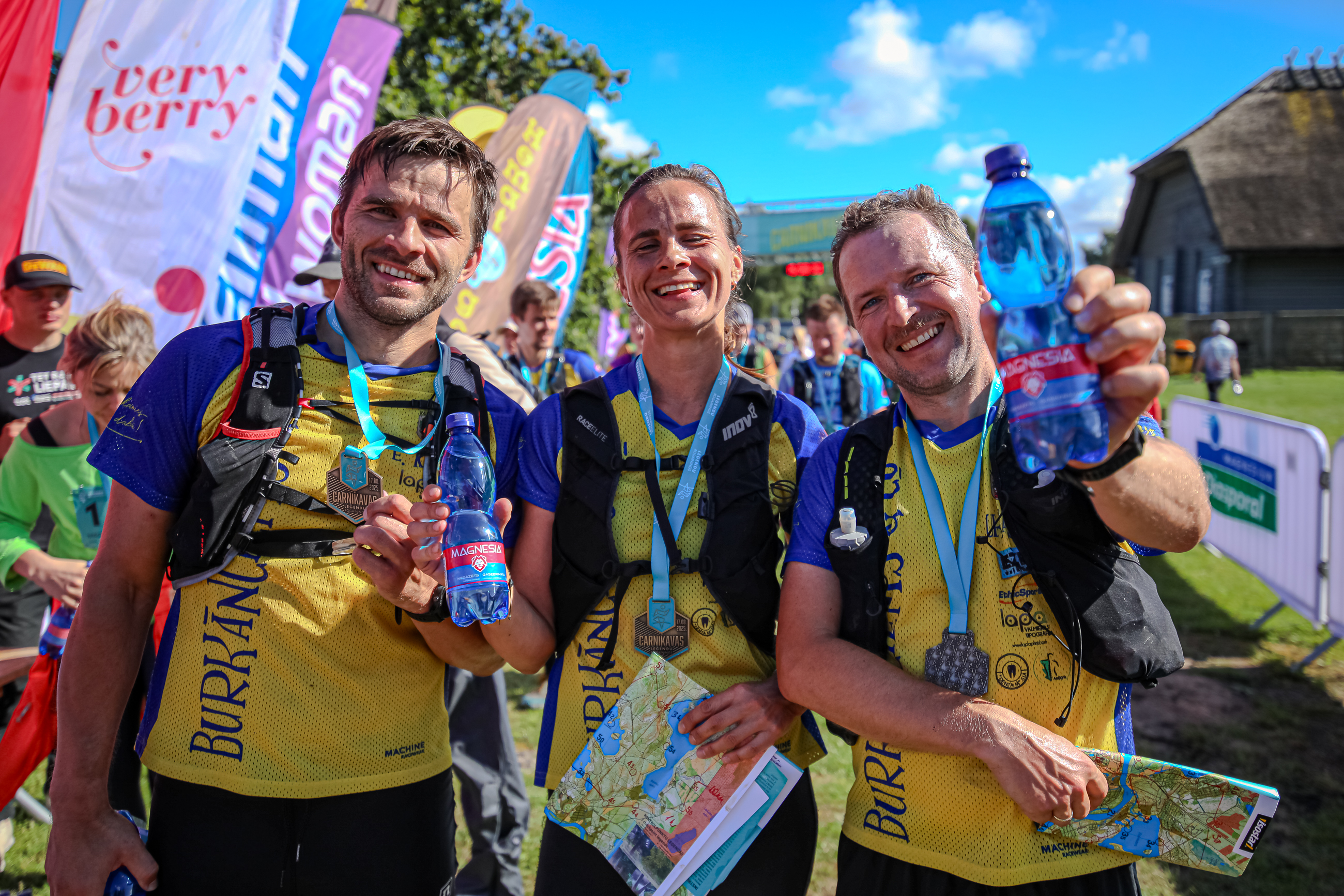
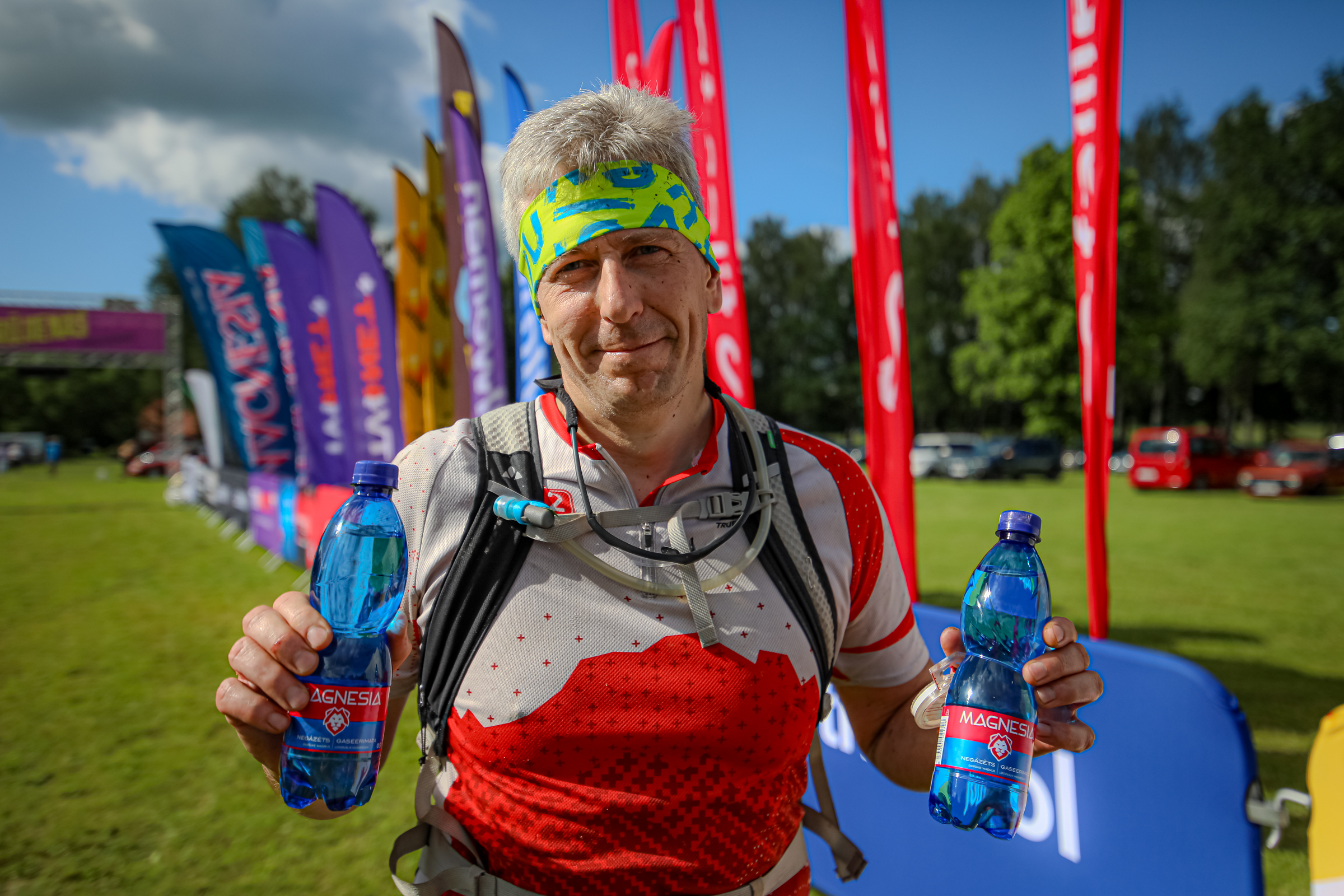
Mencendarbe Legends rogaining
Regulations Programme How to get there & event centre Map
LEGEND ABOUT MENCENDARBE AND ITS SURROUNDINGS
In Mencendarbe, where old manor legends still seem to whisper along the forest edges, there once lived both the barons’ people and the strangely silent guardians of the lakes, who, as the story goes, would move paths and roads at night to mislead strangers. The old manor cellars hold tales of lost maps and mysterious footsteps that disappear without a trace. During the Legend Rogaining here, participants encounter not only marked locations in the terrain, but also the feeling that the Mencendarbe forest is watching every choice and putting the courage and intuition of orienteering masters to the test.
Event schedule and programme
 Add the event to Google Calendar, or
 ![]() Add the event to Apple Calendar
Add the event to Apple Calendar
| Time | Activity |
|---|---|
| 09:30 | Start of number pick-up and map distribution |
| 11:00 | Start of 6h rogaining (Rogaining hike participants may start between 11:00 and 13:00) |
| 11:30 | Start of 3h MTB rogaining |
| 12:00 | Start of 4h rogaining |
| 13:00 | Start of 2h rogaining, 2h Solo rogaining and 2h rogaining hike |
| 14:30 | Finish time limit for 3h MTB rogaining |
| 15:00 | Finish time limit for 2h rogaining and 2h Solo rogaining |
| 16:00 | Finish time limit for 4h rogaining |
| 17:00 | Finish time limit for 6h rogaining and Rogaining hike |
| 17:10 | Award ceremony for all distances and INTERVALS.LV lottery with Garmin and other prizes |
Event centre location and terrain
The event centre will be located by Rundāle Palace
Directions to the event centre:
FIND A TEAMMATE!
Rogaining is a strategic team orienteering event where planning and a shared adventure are an essential part of success. So that no one has to stay home just because they are missing a partner, this season we have created a special platform for finding teammates.
How does it work? Join our official Facebook group, write a post about your planned distance and pace, and head out on the course with new teammates!
Find teammates here: facebook.com/groups/rogainings
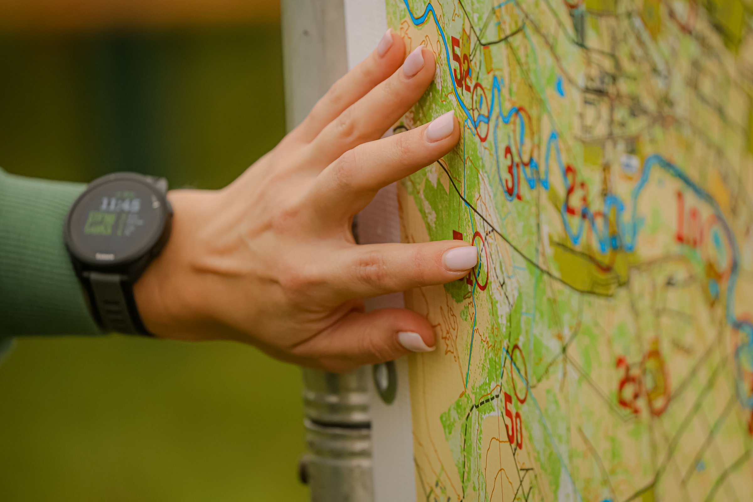
Map symbols
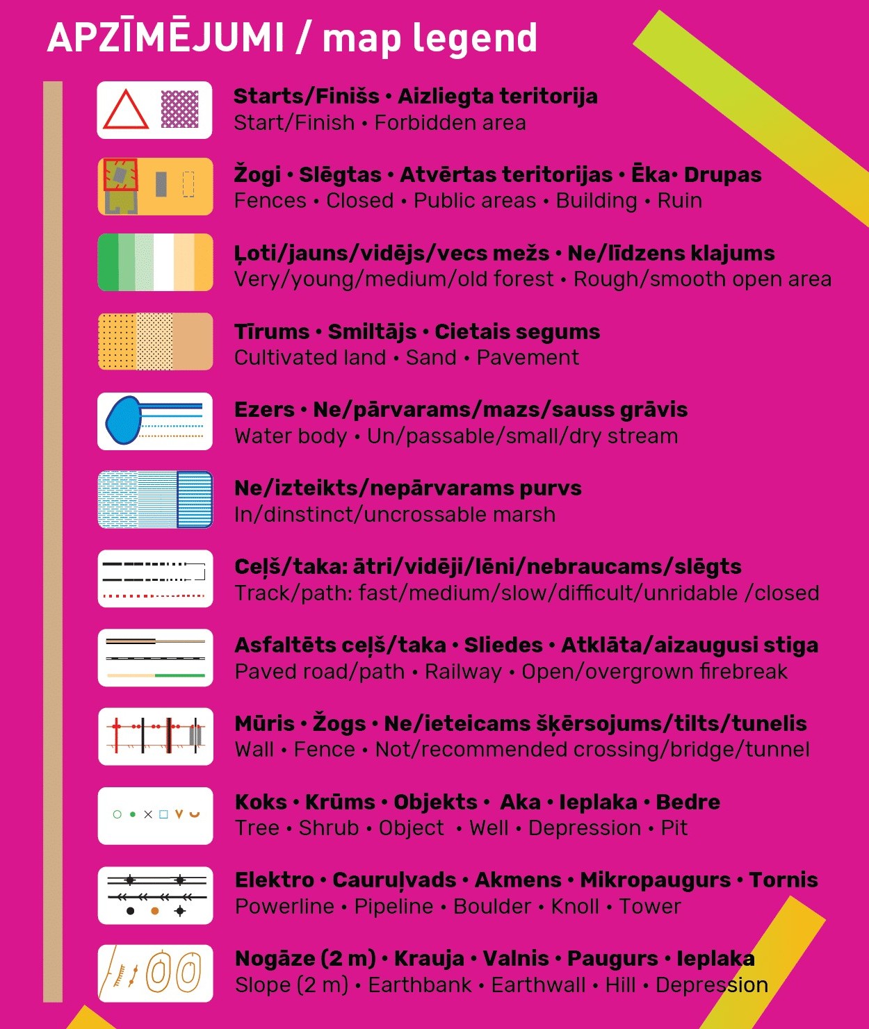 As this year it will be possible to ride with a bike in the MTB class in all stages, for the convenience of cyclists the map will distinguish between asphalted (brown) and unpaved fast/medium/slow/very slow (the more jagged, the slower) black roads and paths. Tracks shown with the narrow ride symbol represent tractor tracks that will not be suitable for cyclists, but runners may try to squeeze through.
Vegetation is mapped as close as possible to the gradual transitions observed in nature, from very young to young, to medium and old forest, using four different colours: dark green, lighter green, very light green and white – as orienteers are used to seeing on their maps. However, unlike classic orienteering maps, these colours do not show runnability, only forest age. Such a detailed representation of the forest is possible thanks to the laser point cloud data published by the Latvian Geospatial Information Agency, which anyone can download free of charge and use to generate map layers.
We remind you that areas coloured in olive green according to standard orienteering symbols are out of bounds for participants. Closed roads are coloured in red. Even if something is not marked on the map but you see a “Private property” or “No entry” sign in the terrain (unless it is clearly from ancient times and no longer valid), please respect it and choose another route. Of course, the organisers will first of all try to plan control points so that access to them does not infringe landowners’ rights.
Contour interval will be a fairly detailed 2 m.
EVENT MAP AND TERRAIN
Participants will receive the competition maps on the race morning when registering at the registration tent. The maps will be laminated for moisture resistance, however moisture may still seep into the edges, corners and damaged areas. Long-distance participants, the keenest swimmers and marsh crossers may tape the map edges with transparent tape for extra durability or even place the maps in special transparent waterproof map cases. The map scale is 1:20 000, i.e. 1 cm = 200 m in the terrain. Size 62 x 43 cm (keep this in mind when choosing a bike map holder).
The terrain is largely dominated by well runnable pine forests. In places there are sandy dunes. As a result, almost all roads that cross the dunes turn into sandy and unrideable surfaces for cyclists (although there are often parallel micro-paths ridden in). On the map, many such unrideable parts are marked with the thinnest ride symbol (rather than the thicker road or path symbol), but as with all general rogaining maps, some imperfections may occur. In the very lowest relief areas there are wide marshy flats with bushy, hard-to-pass vegetation. However, after prolonged dry weather the marshes are relatively dry. Water levels in ditches are also lower than usual.
Control point descriptions
Familiarise yourself with the control point descriptions! Although in any case you must look for the object at the centre of the control circle, the descriptions explain more precisely whether you should look on the north or south side of a building, etc. Some of the control point locations are so legendary that we had to encode them so as not to give them away too early. Still, you can try to guess them even now. You will find the correct answers on race day before the start, when you receive the map with control points.