
Pilsrundale Legends rogaining
Regulations Programme How to get there and event centre Map
LEGEND OF PILSRUNDĀLE AND ITS SURROUNDINGS
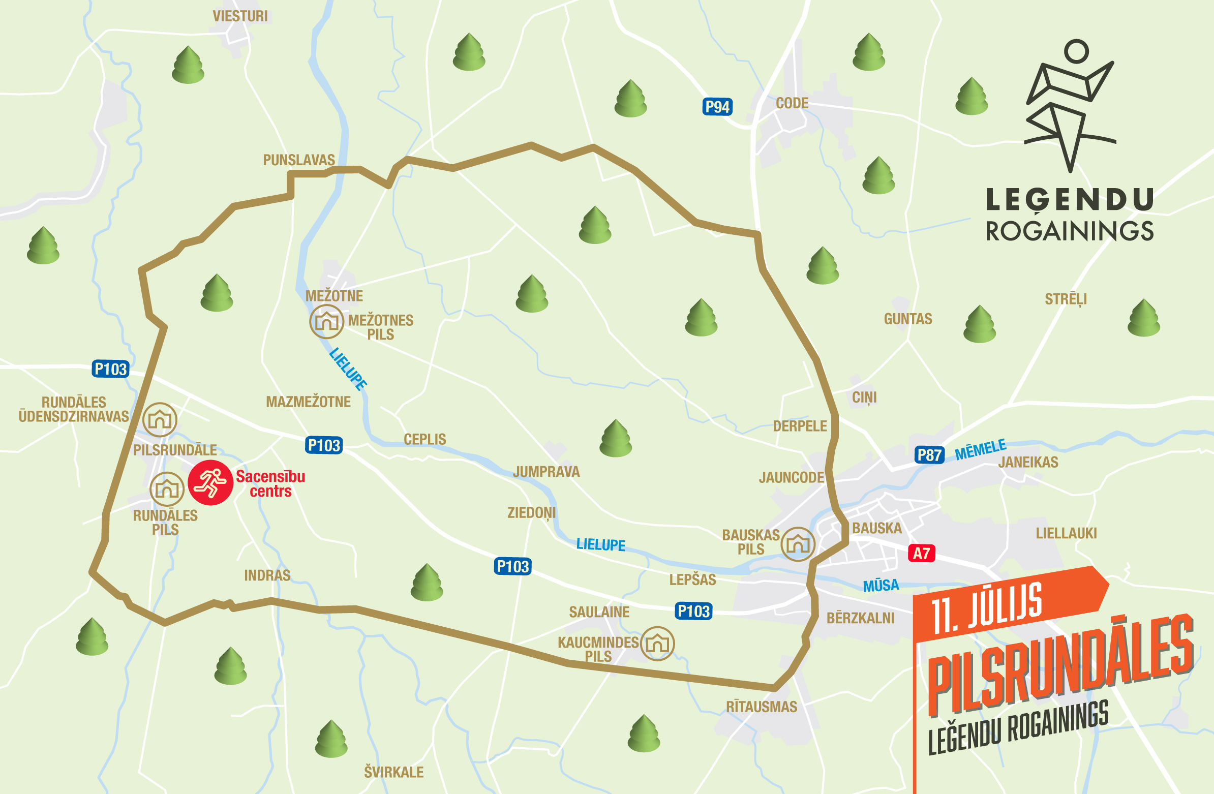
The Pilsrundāle Legend Rogaining terrain links the splendour of the Baroque era at Rundāle Palace with the old manor roads of the surrounding area, rural farmsteads and the historically important trade routes that once led to Bauska and the heart of Zemgale. The nearby forests, meadows and canal lines hold traces of both ducal hunting grounds and Soviet-era collective farms and landscape changes. In the rogaining on 11.07.26, participants will run through places where Baroque grandeur meets the wide-open spaces of Zemgale and the changing human stories of past centuries that still live on in these parks, fields and forests.
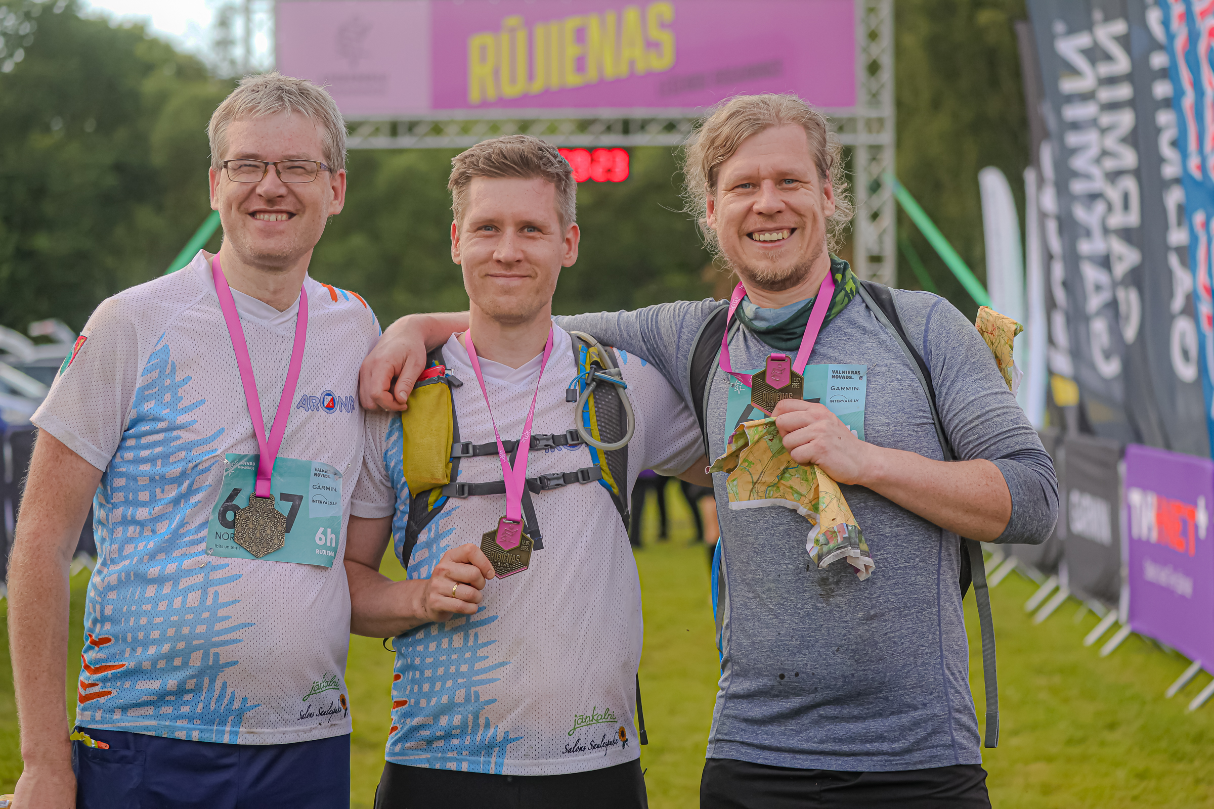
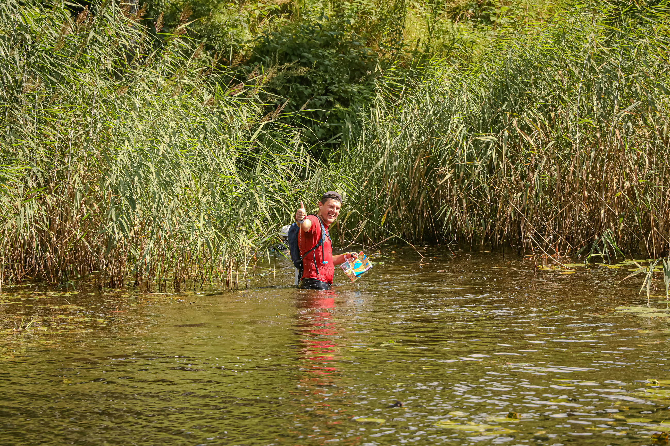
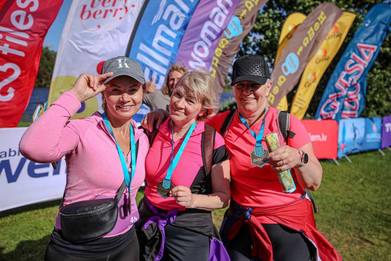
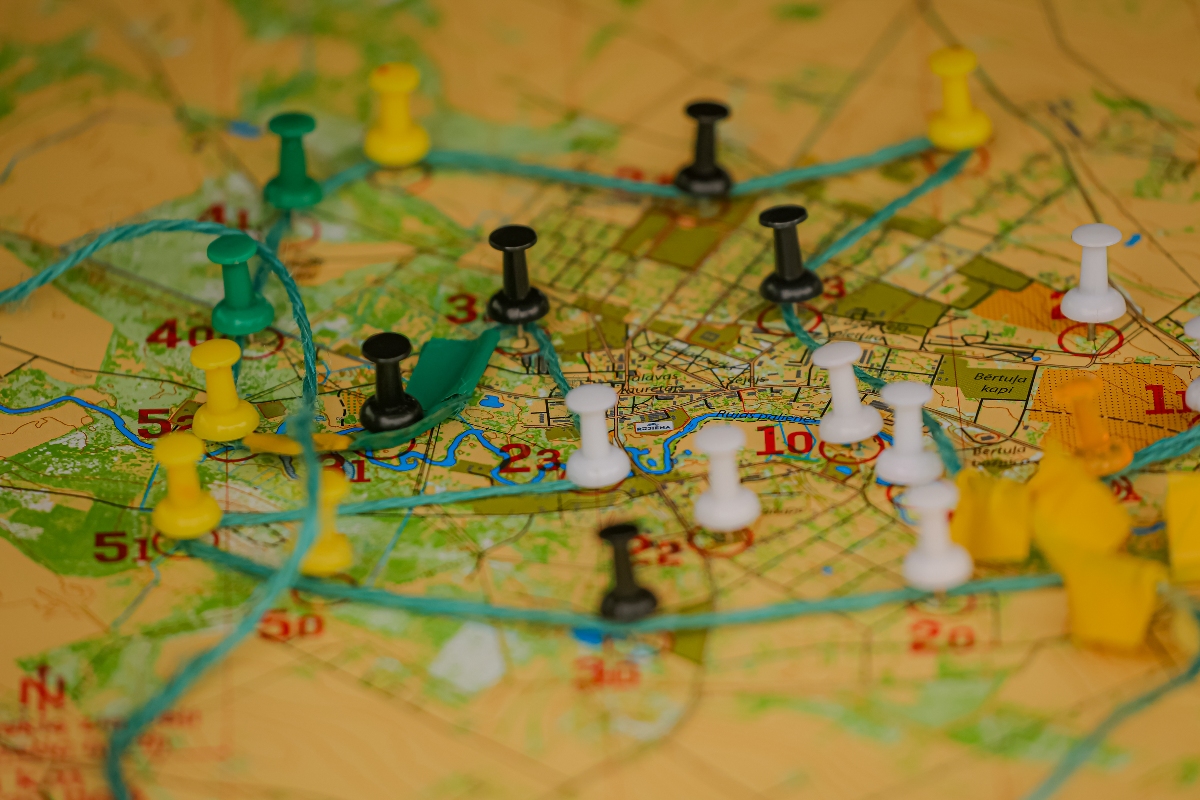
EVENT SCHEDULE AND PROGRAMME
 Add the event to your Google Calendar, or
  Add the event to your Apple Calendar
| Time | Activity |
|---|---|
| 09:30 | Start of bib number collection and map distribution |
| 11:00 | Start of 6h rogaining (Rogaining hike participants may start between 11:00 and 13:00) |
| 11:30 | Start of 3h bike rogaining |
| 12:00 | Start of 4h rogaining |
| 13:00 | Start of 2h rogaining, 2h rogaining run and 2h rogaining hike |
| 14:30 | End of time limit for 3h bike rogaining |
| 15:00 | End of time limit for 2h rogaining and 2h Solo rogaining |
| 16:00 | End of time limit for 4h rogaining |
| 17:00 | End of time limit for 6h rogaining and Rogaining hike |
| 17:10 | Start of prize-giving for all courses and INTERVALS.LV lottery with Garmin and other prizes |
EVENT CENTRE LOCATION AND TERRAIN
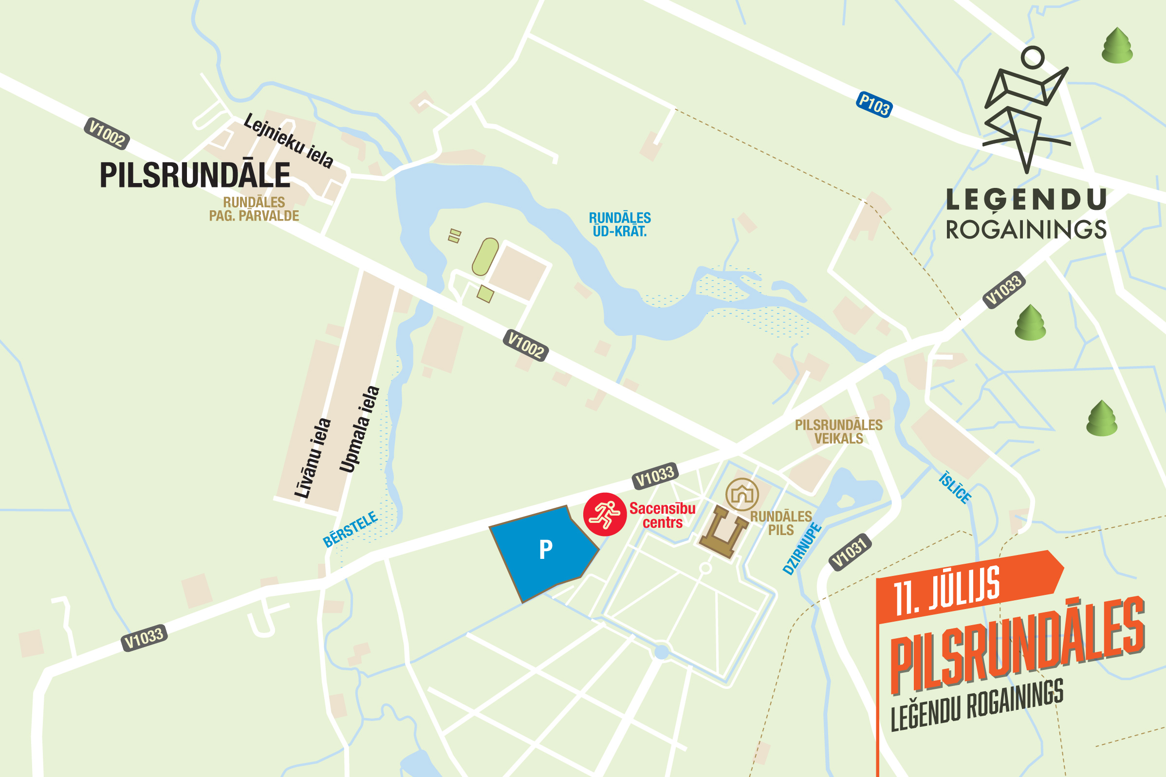
The event centre will be located next to Rundāle Palace.
Directions to the event centre:

LEGENDS HIKE
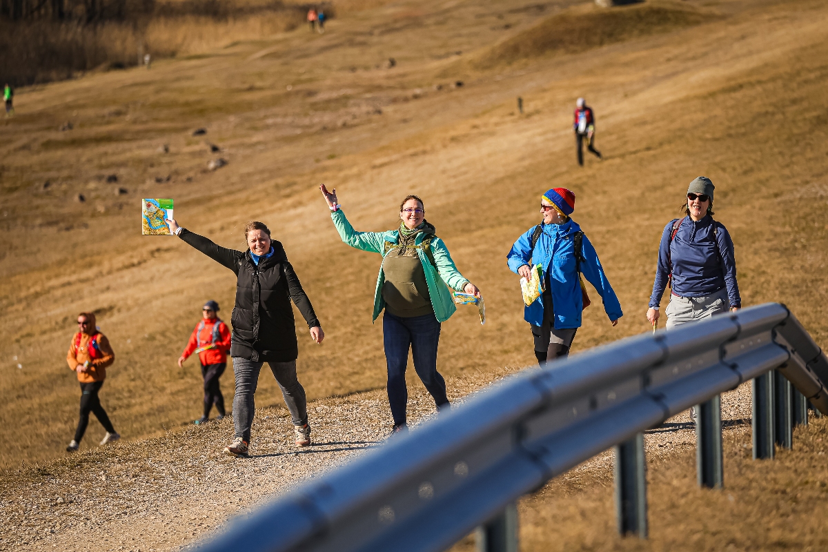
The Hike of Legends is an interactive adventure that transforms an ordinary walk into an exciting journey of discovery. It is designed for every participant to explore local secrets at their own pace, without the rush of competition. Using the Actionbound app, your smartphone becomes your personal guide—as soon as you reach a task location, legend stories and game questions will automatically open on your phone. In nature, these locations are easily spotted by orange and white fabric markers (prisms). The app tracks your location automatically, so you can focus entirely on exploring your surroundings.
Distances formāti:
- 10 km Family Route (2–3 h): Follow the marked line on your phone—stories and game elements for both children and adults.
- 20 km Adventure Distance (4–5 h): Follow the route on your phone—a physical challenge with interactive tasks.
- Hike with a Map: Plan your own route and find checkpoints in any order, using the app only to complete the tasks.
How to Prepare?
- Install the Actionbound app (available on the App Store and Google Play) .
- Receive your map and a unique QR code for distance activation at registration.
- Start your hike at a time convenient for you (see the "Start Window" in the Program section).
Medals and Prize Draw
Just like participants in other distances, hikers will receive commemorative medals and goodies from our supporters at the finish line, as well as entry into the lottery.
Bonus: Participants who answer at least 5 questions correctly in the app will be entered into a special draw for additional prizes at the start of the lottery.
The distance can be completed at any time. However, to receive a medal and participate in the lottery, you must finish no earlier than the start of the final distance and no later than 30 minutes after the control time of the final distance.
FIND A TEAMMATE!
Rogaining is a strategic team orienteering event where planning and a shared adventure are an essential part of success. So that no one has to stay home just because they are missing a partner, this season we have created a special platform for finding teammates.
How does it work? Join our official Facebook group, write a post about your planned distance and pace, and head out on the course with new teammates!
Find teammates here: facebook.com/groups/rogainings
MAP SYMBOLS
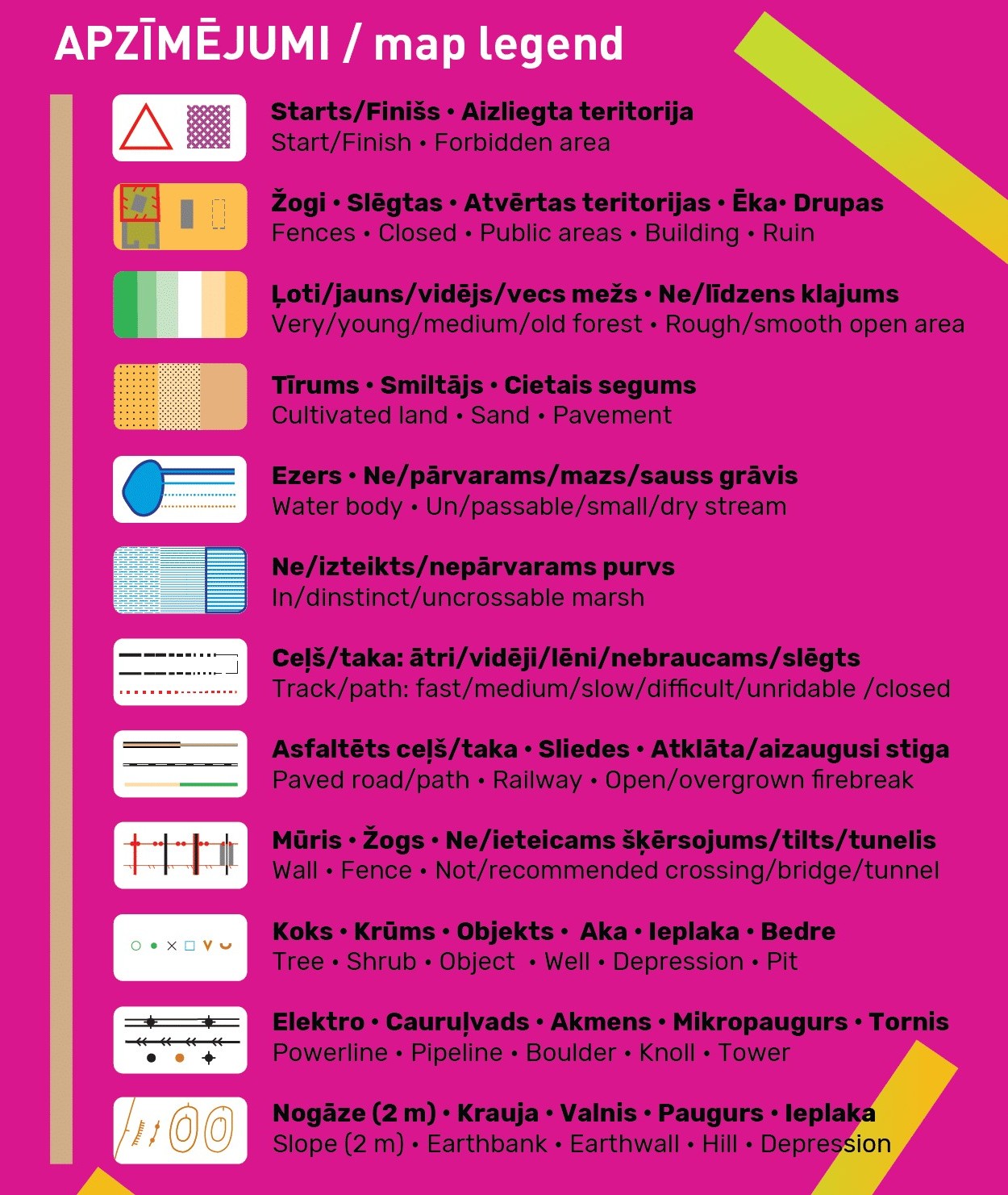 Since this year it will be possible to ride a bike in the MTB class in all stages, for the convenience of cyclists the map will distinguish between asphalt (brown) and unpaved fast/medium/slow/very slow (the more “broken” the line, the slower) black roads and paths. Tracks drawn with the narrow ride symbol represent tractor ruts that are unsuitable for cyclists, but runners may try to squeeze through.
Vegetation is shown as close as possible to the gradual transitions observed in nature from very young to young, to medium and old forest stands, using four different colours: green, lighter, very light and white – the kind of palette orienteers are used to seeing in their maps. However, unlike classic orienteering maps, these colours do not indicate runnability, only forest age. This more detailed forest representation is possible thanks to the publicly available LiDAR point cloud data from the Latvian Geospatial Information Agency, which anyone can download free of charge and use to generate map layers.
We remind you that areas shaded in olive green with standard orienteering symbols are out of bounds for participants. Closed roads are marked in red. Even if something is not shown on the map but you see a sign “Privātīpašums” (Private property) or “Ieeja aizliegta” (No entry) in the terrain (unless it is obviously very old and no longer valid), please respect it and choose another route. Of course, first of all the organisers will try to place controls in such a way that reaching them does not infringe landowners’ rights.
Contour intervals will be a relatively fine 2 m.
EVENT MAP AND TERRAIN
Participants will receive the event maps on the morning of the competition when registering at the registration tent. The maps will be laminated for moisture resistance, but moisture may still seep in at the edges, corners and damaged areas. Long-distance participants, the biggest swimmers and bog-crossers may tape the map edges with transparent tape for extra durability or even place the maps in special transparent and waterproof map cases. The map scale is 1:20 000, i.e. 1 cm = 200 m in the terrain. Size 62 x 43 cm (bear this in mind when choosing a bike map holder).
The terrain is mostly dominated by well runnable pine forests. In places there are sandy dunes. As a result, almost all roads that cross the dunes turn into sandy tracks that are unrideable for cyclists (although there may be parallel micro-paths ridden in). On the map many such unrideable places are marked with the thinnest ride symbol (and not the thicker road or path symbol), but as with all general rogaining maps, some inaccuracies may occur. In the lowest relief areas there are wide, marshy plains with shrubby, difficult-to-pass vegetation. However, after a long dry period the marshes are fairly dry. Likewise, the ditches contain less water than usual.
CONTROL DESCRIPTIONS
Get acquainted with the control descriptions, i.e. the location descriptions! Although in any case you must look for the feature in the centre of the control circle, the descriptions explain more precisely whether to look on the north or south side of a building, etc. Some of the control locations are so legendary that we had to encode them so as not to give away the secrets too early. However, you can already try to guess them now. You will find out the correct answers on race day before the start, when you receive the map with control points.